Offering Real Estate Specialty Aerial Drone Photography
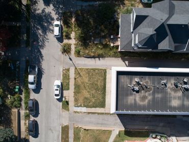
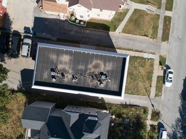
Arctic View Photography is proud to provide real estate specialty aerial drone photography using software to develop orthomosaic maps. The orthomosaic maps can be used in roof inspections, mapping construction projects for construction progress over time, and before starting a project and again after completing a project for "before and after" differences.
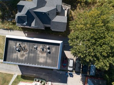
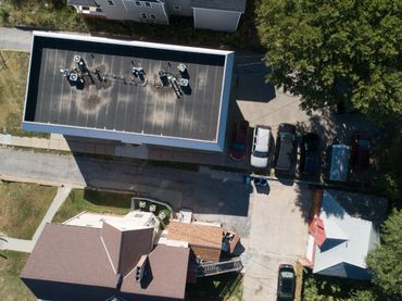
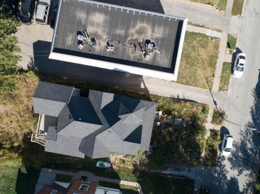
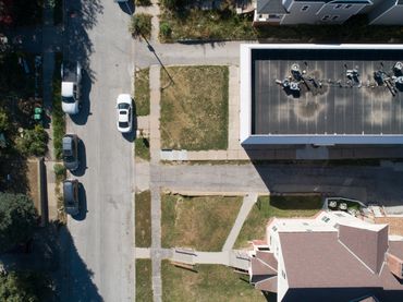
The "before" photos shown are a group of six photos that were taken with a drone of a building in Omaha, Nebraska for a roofing inspection project. The photos were placed within a program to "stitch" the photos together to make a map as shown in the "after" photos (orthomosaic map with a colored surface orthomosaic map (colors depicting differences in height)).
If you are in need of this service, Arctic View Photography would be happy to help.